- gridding, map smoothing and editing,
- determining velocity models and choosing structural mapping techniques,
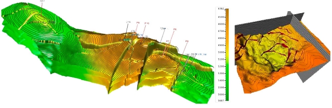
- constructing of main horizons using results from the horizontal velocity analysis for accounting velocity heterogeneities of the upper part of the section,
- structural mapping for reflective horizons and productive layers,
- seismic sections imaging in critical directions.
- identification of seismic stratigraphic sequences,
- detailed correlation within seismic sequences.