In case of substantial and sharp velocity changes in horizontal and vertical directions resulting in time domain distortions, pre-stack depth migration (PreSDM) is performed.
This stage includes:
- velocity - depth modeling of any complexity degree with due regard for geologic structure of the survey area (for example, in areas of salt-dome orogeny, thrust fault zones, clay diapir, etc.),
- modeling of structural elements of any complexity degree and their inclusion in velocity-depth modeling for migration,
- velocity model updating by several iterations,
- various algorithms of 2D, 3D pre-stack and post-stack depth migration mapping,
- medium anisotropy factor consideration.
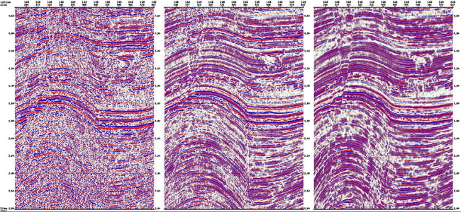
Main processing stages in different geological regions
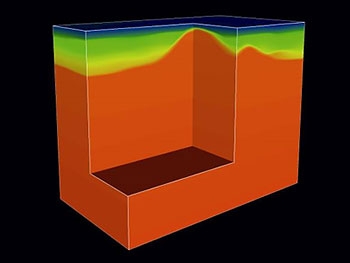
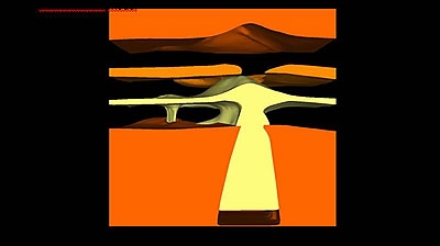
Initial depth-velocity model
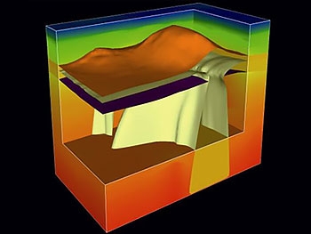
Depth-velocity
model with structure surfaces included
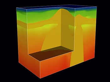
Refined depth-velocity model
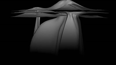
Volumetric image of salt surfaces
Volumetric image of salt in depth-velocity model