Seismic borehole data interpretation

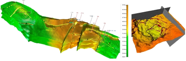
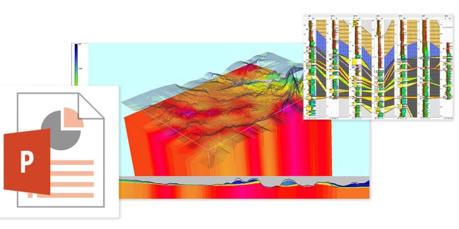
Seismic and borehole data interpretation is carried out by means of applying Paradigm® software packages:

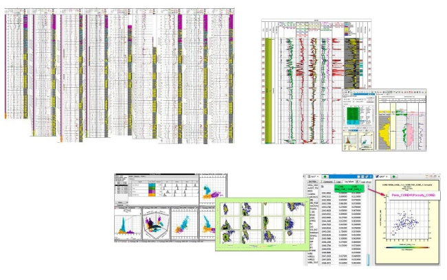
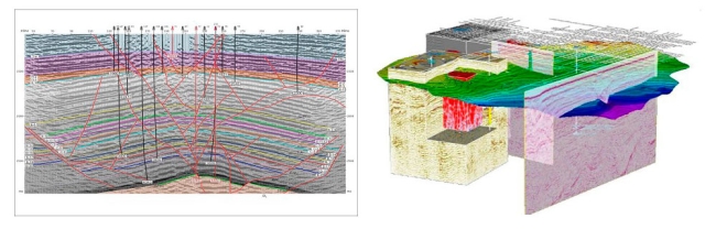
  • SeisEarth KV - seismic data interpretation
  • Geolog - petro-physical analysis and geological interpretation of well log data 
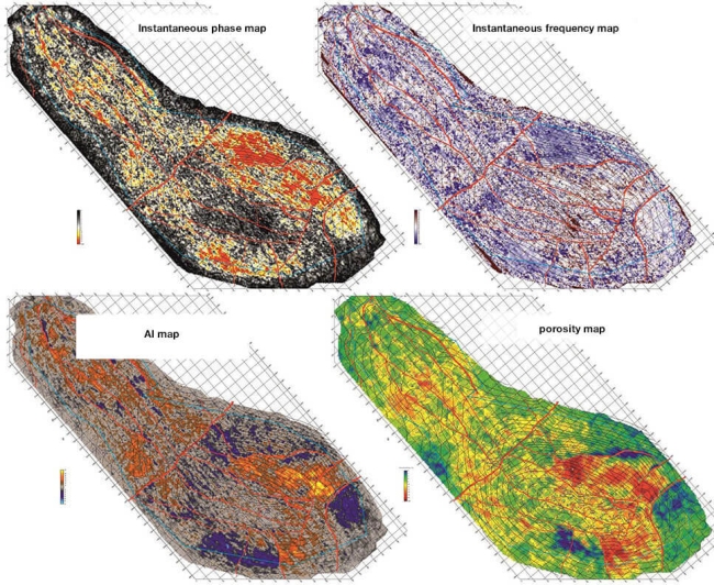
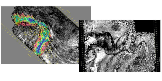
  • Stratimagic - seismic stratigraphic interpretation and seismic facial analysis 
  • Vanguard Geophysicist - acoustic and elastic inversion.


  • construction of correlation schemes and cross sections,
  • correlation in the layers,
  • multi-dimensional statistical analysis of petro-physical parameters,
  • correlations between reservoir properties (porosity and permeability) and physical parameters,
  • petro-physical modeling of the deposit, 
  • bore-hole sectional layering, 
  • identification of fundamental lithological types and reservoirs, 
  • determination of volume components,
  • point-wise interpretation of the cross section specifying saturation and basic reservoir parameters,
  • database provisioning for seismic facies analysis and seismic inversion.


Processing and interpreation of well information


  • entry and tie of modern and vintage seismic data,
  • stratigraphic identification of reflectors (one-dimensional geo-seismic modeling using VSP data, acoustic logging and spike signal),
  • correlation of horizons,
  • analysis of reflectors time mis-tie at 2D survey line intersection,
  • faults identification on time cross sections,
  • areal tracking of faults and block tectonic modeling,
  • fault planes building.


Seismic data interpretation


  • conversion of acoustic logging curves into P-waves velocity,
  • density curves calculation,
  • multi-well calibration of well log curves and seismic data,
  • spike signal evaluation,
  • P-impedance curves calculation,
  • background modeling,
  • acoustic impedance volume (cross sections) calculation,
  • determination of regressive dependencies between acoustic impedance curves and reservoir properties of rocks,
  • reservoir properties volumes calculation,
  • mapping within cross section pay intervals,
  • identification of seismic attributes dependencies on petro-physical characteristics of targets subject to the combined analysis of seismic and borehole data based on statistical methods, 
  • seismic geologic modeling.


Seismic inversion attribute analysis


  • Вidentification of seismic stratigraphic sequences,
  • detailed correlation within seismic sequences, 
  • lithofacies imaging,
  • re-construction of deposit sedimentation,
  • reservoir development zone estimates,
  • identification of channel and barrier bodies.


Seismic facies analysis


  • gridding, map smoothing and editing,
  • determining velocity models and choosing structural mapping techniques,
  • constructing of main horizons using results from the horizontal velocity analysis for accounting velocity heterogeneities of the upper part of the section,
  • structural mapping for reflective horizons and productive layers,
  • seismic sections imaging in critical directions.
  • identification of seismic stratigraphic sequences,
  • detailed correlation within seismic sequences.


Structural imaging


The following model works execution report shall be submitted to the Client.


  • descriptive part,
  • 2D and 3D time sections,
  • time maps,
  • color-coded structural maps,
  • color-coded pay maps of productive layers,
  • correlation schemes of well logs and geologic cross - sections,
  • reservoir rock properties forecast map,
  • the most informative seismic geologic and G&G cross - sections,
  • data sheets for the prepared geological features,
  • other additional materials on demand.


Presentation of results, conclusions and recommendations